Location
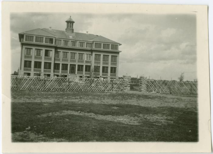
"Point is on the site of the third residential school building that was opened in 1954 and closed in 1967. This school building was constructed directly over the foundation of the second residential school building. The second school was opened in 1914 and burnt down in 1946. The first school building, constructed in 1899 and burnt down in 1913 was located approximately 50 metres east from the second/third location" (Orlandini, 2019). Location Credit
Rosa Orlandini. The school/hostel location data was collected by the Truth and Reconciliation Commission / National Centre for Truth and Reconciliation, Morgan Hite (Atlas of Indian Residential Schools of Canada), Stephanie Pyne (Residential Schools Land Memory Mapping Project) and Rosa Orlandini (Map and GIS Librarian, York University Libraries). The location data and associated attribute data was enhanced, revised and updated by Rosa Orlandini, in consultation with the Archivists at the National Centre for Truth and Reconciliation.Location Source
Orlandini, Rosa, 2019, "Residential Schools Locations Dataset (Shapefile format)",
https://doi.org/10.5683/SP2/FJG5TG, Borealis, V3, UNF:6:TTc1mMvx2BlBqBgIN05xVw== [fileUNF]