Location
First and second locations,1863-1961: "Point is on the site of the St. Mary's Indian Residential School (1884-1961), specifically the three story building that was used as the mission house, boy's dormitory, chapel and a classroom. The girls dormitory, built in 1884, was located 100 metres north-east of the mission house. Numerous farm and workshop building were constructed in 1880s. From 1863 to 1884, the mission and school was located below the hill from the cemetery along the river at approximately 49.13816 -122.281571" (Orlandini, 2019).
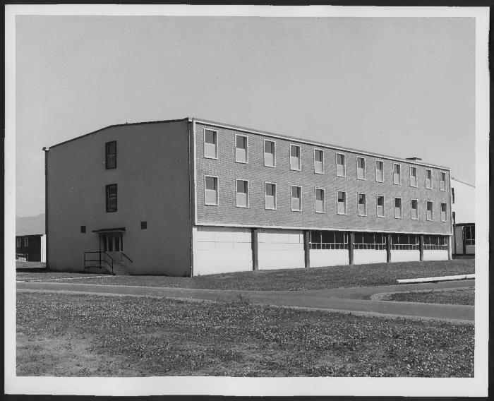
Third location, 1961-1984: "Point is on the site of the St. Mary's Indian Residential School building from 1961 to 1984. In 2005, the land and buildings were returned to the Sto:lo Nation and the land regained its Sto:lo name, Pekw'xe:Yles" (Orlandini, 2019).Location Credit
Rosa Orlandini and Morgan Hite. The school/hostel location data was collected by the Truth and Reconciliation Commission / National Centre for Truth and Reconciliation, Morgan Hite (Atlas of Indian Residential Schools of Canada), Stephanie Pyne (Residential Schools Land Memory Mapping Project) and Rosa Orlandini (Map and GIS Librarian, York University Libraries). The location data and associated attribute data was enhanced, revised and updated by Rosa Orlandini, in consultation with the Archivists at the National Centre for Truth and Reconciliation.Location Source
Orlandini, Rosa, 2019, "Residential Schools Locations Dataset (Shapefile format)",
https://doi.org/10.5683/SP2/FJG5TG, Borealis, V3, UNF:6:TTc1mMvx2BlBqBgIN05xVw== [fileUNF]