Location
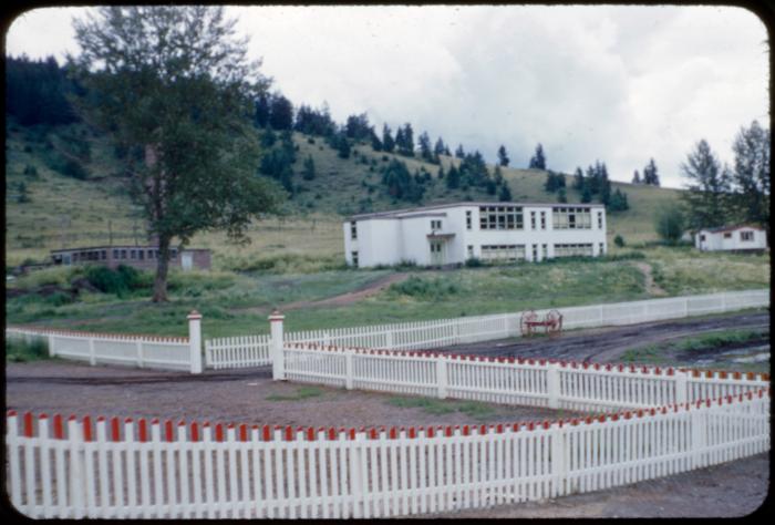
"Point is on the site of the Cariboo Residential School building that opened in 1955 and closed in 1988. The school was on the grounds of the St. Joseph's Mission. There were several school builidings on the property throughout the history of the school. Most of the buildings that were used by the school have been torn down, with the exception of the barn and couple of houses. The cemetery is located 52.061647 -121.952022. The church was located on the north side of the cemetery" (Orlandini, 2019).Location Credit
National Centre for Truth and Reconciliation. The school/hostel location data was collected by the Truth and Reconciliation Commission / National Centre for Truth and Reconciliation, Morgan Hite (Atlas of Indian Residential Schools of Canada), Stephanie Pyne (Residential Schools Land Memory Mapping Project) and Rosa Orlandini (Map and GIS Librarian, York University Libraries). The location data and associated attribute data was enhanced, revised and updated by Rosa Orlandini, in consultation with the Archivists at the National Centre for Truth and Reconciliation.Location Source
Orlandini, Rosa, 2019, "Residential Schools Locations Dataset (Shapefile format)",
https://doi.org/10.5683/SP2/FJG5TG, Borealis, V3, UNF:6:TTc1mMvx2BlBqBgIN05xVw== [fileUNF]