Location
First location, 1914-1933: "Point is on the site of main building of the first location of the Mackay Indian Residential School. The building opened in 1914 and burnt down in 1933. The school grounds were located Fisher Island, Opaskawaya Cree Nation 21F. The school was re-established in Dauphin in 1957" (Orlandini, 2019).
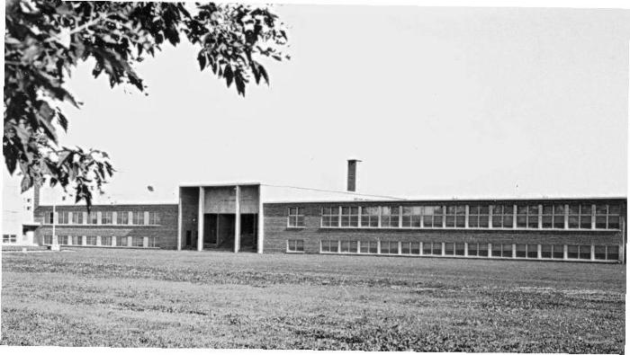
Second location, 1957-1988: "Point is on the main building that was used by the Mackay Indian Residential School from 1957 to 1988. The school complex is on the west side of Ida Street between Whitmore Avenue and Pioneer Avenues. The buildings and property are owned by Dauphin Church of Christ and is now called Parkland Crossing" (Orlandini, 2019).Location Credit
Morgan Hite and Rosa Orlandini. The school/hostel location data was collected by the Truth and Reconciliation Commission / National Centre for Truth and Reconciliation, Morgan Hite (Atlas of Indian Residential Schools of Canada), Stephanie Pyne (Residential Schools Land Memory Mapping Project) and Rosa Orlandini (Map and GIS Librarian, York University Libraries). The location data and associated attribute data was enhanced, revised and updated by Rosa Orlandini, in consultation with the Archivists at the National Centre for Truth and Reconciliation.Location Source
Orlandini, Rosa, 2019, "Residential Schools Locations Dataset (Shapefile format)",
https://doi.org/10.5683/SP2/FJG5TG, Borealis, V3, UNF:6:TTc1mMvx2BlBqBgIN05xVw== [fileUNF]